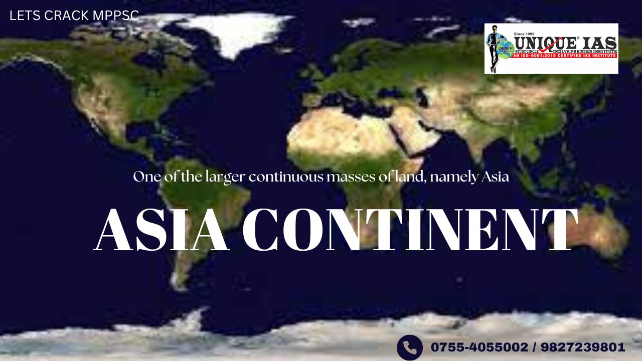
ASIA CONTINENT - एशिया महाद्वीप
One of the larger continuous masses of land, namely, Asia, Africa, North America, South America, Antarctica, Europe, and Australia, listed in order of size. (Europe and Asia are sometimes considered a single continent, Eurasia.)
The continents differ sharply in their degree of compactness.
-Africa has the …..most regular coastline and, consequently, the lowest ratio of coastline to total area.
- Europe is the …..most irregular and indented and has by far the …..highest ratio of coastline to total area.
-More than …..two-thirds of the Earth’s land surface lies north of the Equator, and
-All the continents except Antarctica are wedge shaped, wider in the north than they are in the south.
This was because the cracks in Gondwana tended to follow intersecting courses like a pie.
1-Asia
The name Asia may be derived from a syrian word asu, meaning “east.
The total area of Asia is roughly one-third of the land surface of the Earth. Its peoples account for three-fifths of the world’s population.
The world’s …..largest and most diverse continent.
Highest and the lowest points–
Asia has both the …..highest and the lowest points(Dead sea) on the surface of the Earth, has the longest coastline of any continent, is subject overall to the world’s widest climatic extremes, and, consequently, produces the most varied forms of vegetation and animal life on Earth.
In addition, the peoples of Asia have established the broadest variety of human adaptation found on any of the continents.
Asia is separated from …..North America to the northeast by the…..Bering Strait and from Australia to the southeast by the seas and straits connecting the Indian and Pacific oceans.
The Isthmus of…..Suez unites ……Asia with Africa, and it is generally agreed that the Suez Canal forms the border between them.
It is located to the…..east of the Suez Canal and the……… Ural Mountains, and …..south of the Caucasus Mountains (or the Kuma–Manych Depression) and the Caspian and Black Seas.
Significance of Staits and Isthmus in international trade:
Q-Which one of he following waterways has more economics and strategic significance ? (PSC-2021) (a) Pak strait (b) Malacca strait (c)Suez canal (d)Panama canal Answer:-© Q- Mention the significance of straits and isthmus in international trade. Answer in 250 words. (IAS EXAM-2022) |
|
The Caucasus Mountains The Caucasus Mountains are a mountain range at the intersection of Asia and Europe. Stretching between the Black Sea and the Caspian Sea, The Mount Elbrus, the highest peak in Europe at 5,642 metres is a part of Caucasus . It consists of Southern Russia, Georgia, Armenia, and Azerbaijan. How Caucasus were formed ? The Caucasus Mountains formed as the result of a tectonic plate collision between the Arabian Plate moving northwards with respect to the Eurasian Plate. |
|
Q. Which of the following countries does not form border with the Caspian sea ?(PSC-2017) (a) Azerbaijan (b) Iran (c) Iraq (d) Kazakhstan ANSWER-(c) |
|
The Aral Sea The Aral Sea is an endorheic lake lying between Kazakhstan in the north and Uzbekistan. Aral Sea sank by 75%. Q- Which of the following has/have shrunk immensely/dried up in the recent past due to human activities- (IAS Exam-2018) 1- Aral Sea 2-Black Sea 3- Lake Baikal Select the correct answer using the code given below: (a) 1 (a) only 1 (b) 2 and 3 only(c) 2 only(d) 1 and 3 ANSWER: -(a) only 1- Aral Sea sank by 75%. |
Asia has the …..highest average elevation of the continents and contains the greatest relative relief.
-The tallest peak in the world,….. Mount Everest, which reaches an elevation of 29,035 feet (8,850 metres
The …..lowest place on the Earth’s land surface, the …….Dead Sea (water filled the graben, forming the Dead Sea), which averages about 1,312 feet (400 metres) below sea level;
-The world’s deepest continental trough, occupied by Lake Baikal (formed by the Earth's crust fracturing ), which is 5,315 feet (1,620 metres) deep and whose bottom lies 3,822 feet (1,165 metres) below sea level, are all located in Asia.
Indian subcontinent drifting Eastward-
About 160 million years ago, the core of the Indian subcontinent broke off from Africa and began drifting northeastward to collide with the southern flank of Asia about 50 million years ago.
The northeastward movement of the subcontinent continues at about 2.4 inches (6 cm) a year.
The impact and pressure continue to raise the Plateau of Tibet and the Himalayas.
The …..Yangtze River in China is the …..longest river in the continent .
Asia is subdivided into 48 countries, two of them (Russia and Turkey-Eurosian countries) having part of their land in Europe.
|
Q. Consider the following countries : ?(IAS Exam-2022) 1. Azerbaijan 2. Kyrgyzstan 3. Tajikistan 4. Turkmenistan 5. Uzbekistan Which of the above have borders with Afghanistan ? (a) 1, 2 and 5 only (b) 1, 2, 3 and 4 only (c) 3, 4 and 5 only (d) 1, 2, 3, 4 and 5 ANS-C |
West Asia-
Western Asia, West Asia, or Southwest Asia / is almost entirely a part of the Middle East, and includes Anatolia, the Arabian Peninsula, Iran, Mesopotamia, the Armenian Highlands, the Levant, the island of Cyprus, the Sinai Peninsula, and partly the Caucasus Region (Transcaucasia).
The most populous countries in Western Asia are Iran, Turkey, Iraq, Saudi Arabia and Yemen.
|
The Levant- It means ‘the East’ or ‘Mediterranean lands east of Italy’. The region along the eastern Mediterranean shores, roughly corresponding to modern-day Israel, Jordan, Lebanon, Syria, and certain adjacent areas. Q. The term "Levant" often heard in the news roughly corresponds to which of the following regions ?(IAS Exam-2022) (a) Region along the eastern Mediterranean shores (b) Region along North African shores stretching from Egypt to Morocco (c) Region along Persian Gulf and Horn of Africa (d) The entire coastal areas of Mediterranean Sea ANS-A |
.jpg)


.jpg)
.jpg)
.jpg)